Natural sites & Parks and gardensBelvedere the
Belvedere the
narvannes or the oboe
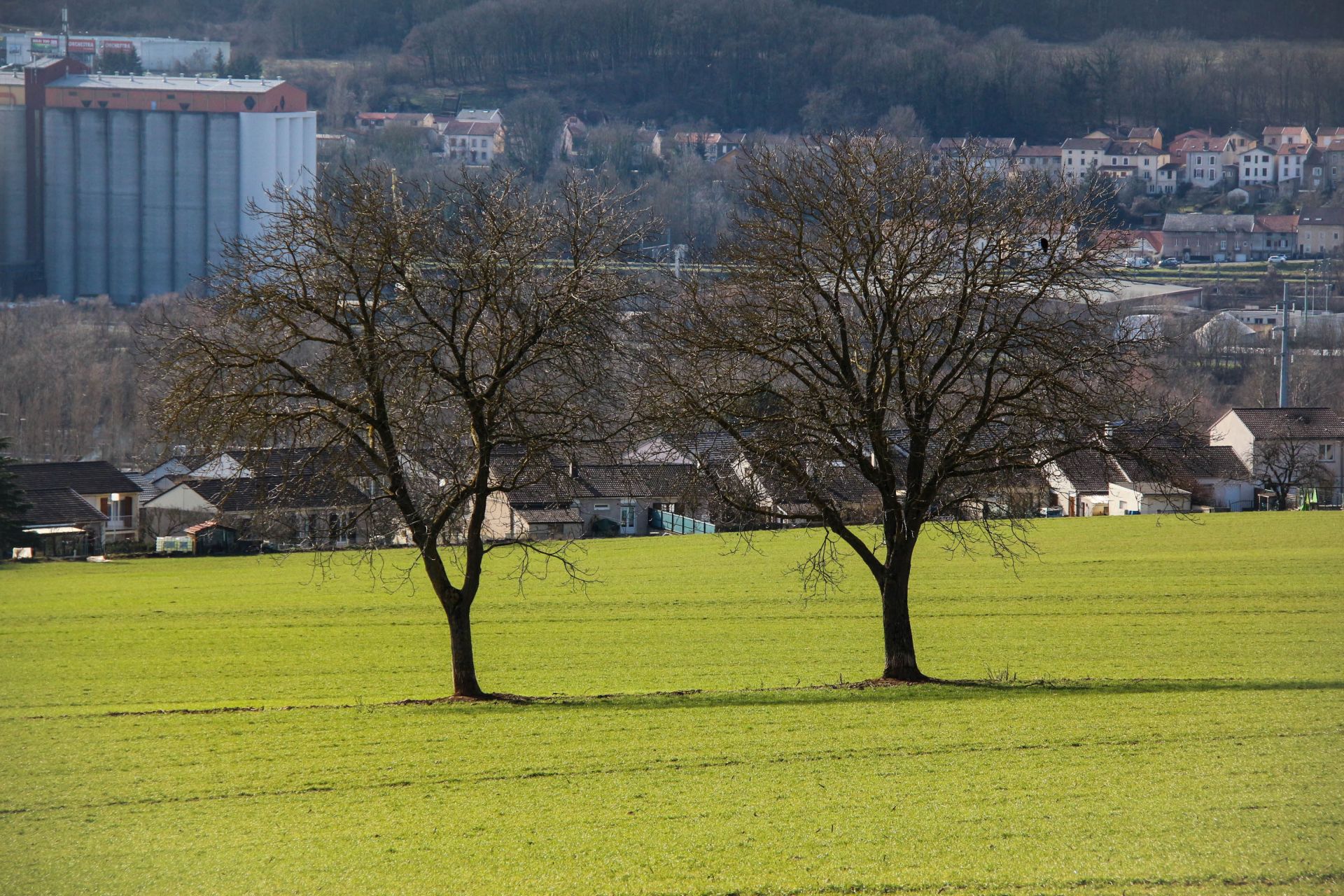
The Narvannes Field This viewpoint is located along the Clévant path, which runs along the edge of the Haut Bois. In the foreground stretches the vast Narvannes field, usually planted with cereals, straddling the territories of Bouxières and Custines. Until the 40th century, it was crossed by the old road, which connected the two communes via the village of Clévant. The remains of a small bridge crossing a stream are still visible from the D2000 road. This road ran along the site of the ancient Gallo-Roman villa, established in the XNUMXnd century, whose existence attests that these alluvial lands have been cultivated for nearly XNUMX years. (Knowledge and Renaissance of Old Bouxières)